Island hopping pace
Ferries naturally slow the trip and create a more intentional travel cadence.
Route field note
A slower route for island ferries, coastal roads and long northern horizons shaped by wind and sea.
01 / Route character
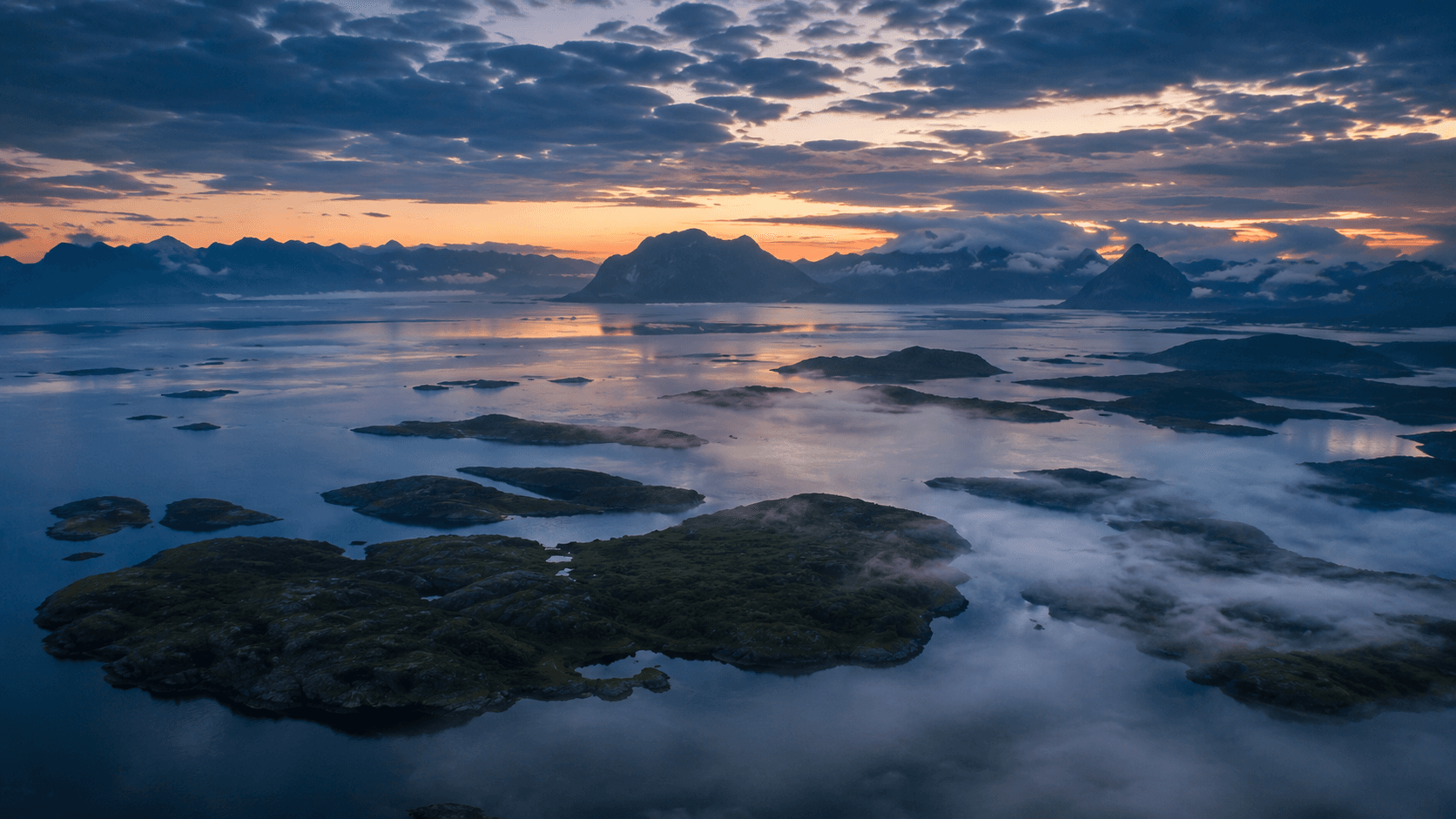
Helgeland is less about single iconic stops and more about rhythm, ferries and calm landscapes.
Ferries naturally slow the trip and create a more intentional travel cadence.
Frequent shoreline access keeps the sea present throughout most of the route.
Smaller settlements and open horizons make it ideal for reflective road travel.
02 / Places to shape around
Build around a few distinct clusters and avoid overloading the route with daily transfers.
Mountain backdrop
Use viewpoints and detours where weather reveals the mountain wall above the coast.
Island detour
Quiet roads, sea-facing farms and small harbors define this slower segment.
Ferry junction
Check key ferry transitions before booking stays and daily stops.
03 / Seasonal notes
Late spring to early autumn is usually easiest for driving and island logistics.
May-Aug
Best window for extended evening stops and flexible coastal detours.
Sep-Oct
Fewer travelers, darker skies and strong weather texture across the coast.
Winter
Possible in parts, but weather and ferry changes require tighter planning margins.
Related paths
Continue planning
Pair Helgeland with Lofoten or keep it as a standalone slower coastal journey.