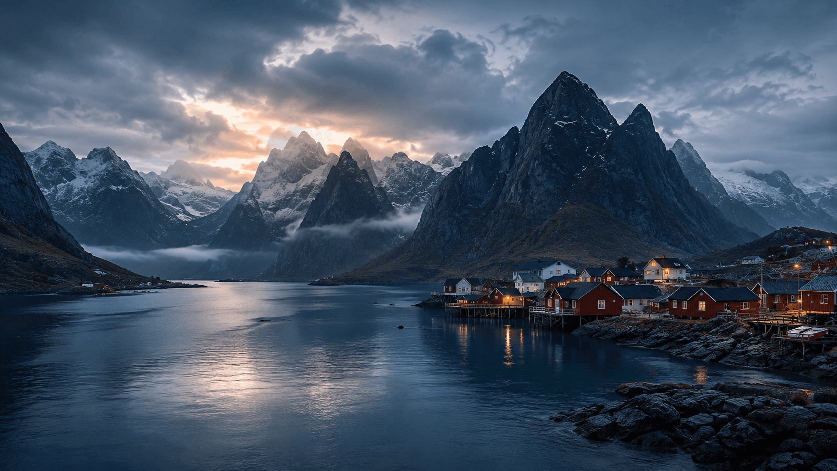
Fishing villages and steep mountains in Lofoten at dusk

Route field note

Lofoten Road Trip

A practical driving guide through fishing villages, Arctic beaches and roads framed by sharp granite peaks.

At a glance

Drive Lofoten as a slow E10 journey

Five to seven days is the strongest first-trip range, but the route works in either direction. Start east to west from Evenes or Svolvær, or west to east after a Bodø–Moskenes vehicle ferry; short map distances become longer once stops, weather, traffic and parking are part of the day.

  • Norwegian Scenic Route Lofoten follows E10 between Å and Raftsundet, with worthwhile detours rather than a one-way official direction.
  • Use three days for one part of the islands, five days for eastern/central and western Lofoten, and seven days for a slower full-route journey with a flexible day.
  • Plan ferry crossings, accommodation, parking pressure and current road conditions together before fixing each day.

01 / Route direction

Choose direction by arrival point

Norwegian Scenic Route Lofoten runs between Å and Raftsundet along E10, with detours to villages and beaches. It works equally well in either direction; let your airport, ferry or onward journey decide the order.

Evenes or Svolvær arrival

Drive east to west

Evenes → Svolvær → Henningsvær → Haukland / Unstad → Nusfjord → Ramberg → Hamnøy → Sakrisøy → Reine → Å. Treat Henningsvær, Haukland, Unstad and Nusfjord as detours from the E10 spine, not additions to one rushed transfer day.

Bodø–Moskenes vehicle ferry

Drive west to east

Moskenes, with Å as a short terminal spur if it matters to you, → Reine → Sakrisøy → Hamnøy → Ramberg → Nusfjord → Haukland / Unstad → Henningsvær → Svolvær → onward toward Evenes or Vesterålen. This avoids driving back west after arriving at the western ferry terminal.

Scenic Route context

Use detours selectively

The official Scenic Route gives a useful framework, but it is not a checklist. Keep beach, harbour and photo detours inside the region where you are sleeping, then leave time for weather and parking.

02 / Timeframes

Match the route to your days

The practical difference between three, five and seven days is how much of the island chain you choose, not how quickly you drive between the same named stops.

3 days

Choose one side

Use one base and choose either the eastern/central side around Svolvær, Henningsvær and Haukland, or the western side around Ramberg, Reine and Å. Skip the far end of the islands rather than collecting every stop.

5 days

Use two bases

Combine eastern or central Lofoten with the west, changing base once. Leave one flexible period for weather, a beach, a hike or a slower village day instead of filling every afternoon.

7 days

Travel the full route slowly

Use two or three bases, include the full E10 corridor and keep a flexible day for weather, hiking, photography or a ferry change. The extra time is for margin, not longer daily mileage.

03 / Bases

Change bases only when it saves driving

A base change trades checkout time for fewer repeated drives. Choose it when the next area will shape more than one day, not simply to sleep nearer to one viewpoint.

One base

Best for a short trip

Use one practical region when you have three days or less: an eastern base in Svolvær, Kabelvåg or Henningsvær, a central base around Leknes, Ballstad or Ramberg / Flakstad, or a western base around Reine, Hamnøy, Sakrisøy, Sørvågen or Å.

Two bases

Best first-trip balance

For five days, pair an eastern or central base with a western base. This keeps the E10 route connected without changing accommodation every night or repeating long drives across the islands.

Three bases

Only with a full week

A week can support eastern, central and western regions if you value different morning and evening light. Keep the third base optional when weather or ferry timing changes the plan.

04 / Ferries and boats

Check the exact boat before planning a car route

Ferries are part of the route, but not every water connection moves vehicles. Check the current operator information before committing to an arrival or departure day.

Bodø–Moskenes by vehicle ferry

The Bodø–Moskenes service can carry vehicles. Reservations may cover part of the capacity, while ordinary quay queuing may still be possible under current operator guidance; rules, capacity and booking arrangements can change.

Passenger express boats are different

A passenger express boat does not necessarily have a vehicle deck. Do not assume that every ferry or boat connection can take a car, campervan or motorhome.

Re-check before travel

Use the current Torghatten route page for the Bodø–Værøy–Røst–Moskenes service, then confirm ferry changes through the official planners before the driving day begins.

Open guide

05 / Summer traffic

Leave room for parking and queues

July and other peak-summer periods can make the small roads, villages, beaches and trailheads feel much slower than the map suggests.

Use marked parking

Parking is limited at popular beaches, villages and trailheads. Use marked spaces only; passing places and road shoulders must remain clear for traffic and emergency access.

Expect pressure at the classics

Reine, Henningsvær and popular beach areas can require extra time for traffic and parking. Arriving early or late may reduce pressure, but it is never a guarantee.

Keep the day flexible

Do not schedule every hour around a viewpoint or trailhead. Keep enough margin to choose another stop when a car park, road or ferry is busier than expected.

06 / Vehicle choice

Choose a vehicle that suits the road rhythm

Lofoten is accessible by car and campervan, but the vehicle changes how easily you can use narrow roads, small parking areas and busy village approaches.

07 / Driving seasons

Summer and winter need different margins

Lofoten is not automatically inaccessible in winter, but the season changes the experience, vehicle preparation and amount of time a realistic road day needs.

Summer

Long light, higher pressure

Long daylight, more open services and flexible evening driving make summer straightforward in some ways, but visitor pressure, busy parking and ferry demand can slow the route.

Winter

Short light, changing conditions

Snow, ice, slush, strong winds and short daylight require conservative plans. Exposed bridges, tunnels and roads can have restrictions, while services and departures may be reduced or changed.

08 / Before each driving day

Check conditions, then keep the route adjustable

Use current official information rather than yesterday's forecast or an old ferry screenshot. Conditions can change between the first coffee stop and the next bridge.

Road and wind checks

Check Statens vegvesen for road conditions, closures, wind restrictions, bridges, tunnels, traffic messages and webcams before driving. Severe weather can change the practical route without much notice.

Ferry and weather checks

Check the ferry operator and journey planner for changes, then use the weather forecast to decide which beach, hike or long drive should stay flexible. Keep the map open for an alternative stop.

Open guide

Related paths

Continue planning

Check ferry practicalities and current conditions, then use the map to keep bases, detours and daily stops realistic.

Norway, one quiet route at a time

Get occasional field notes, practical travel updates and new routes from across Norway.

Loading the email form…

No spam. Unsubscribe anytime. Read our Privacy Policy.