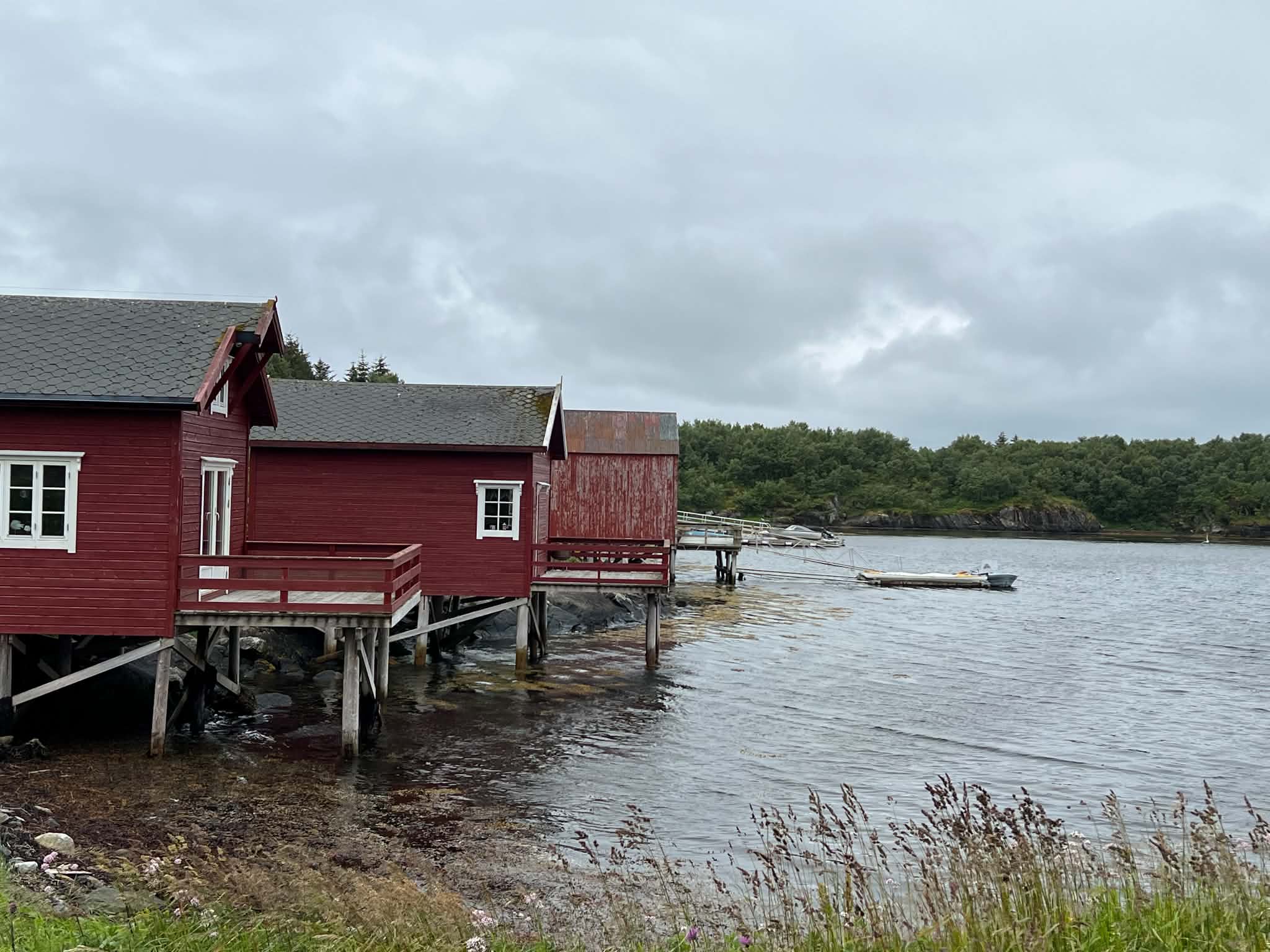
Currently on Herøy ·
Field Notes from the Helgeland Coast
I’m travelling through Herøy and updating these field notes with photographs, local places, practical observations and stories from the coast.
Follow the journey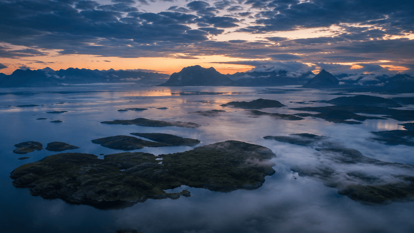
Helgeland / Southern Northern Norway / Coastal Route Fv17
A practical introduction to a wide coastal region of ferries, islands, mountain walks and communities best understood slowly.
433 km scenic route
6 ferry crossings
4–14 days by scope
Vega World Heritage
On this guide
Jump to the sections that matter while planning the route.
01 / Direct answer
Helgeland is the southern part of Northern Norway, in Nordland. The region reaches from fjords, forests and inland mountains to a long coast of islands, skerries, farming landscapes and small communities, with Brønnøysund, Sandnessjøen, Mosjøen and Mo i Rana as its four regional cities.
Visit for a journey shaped by ferries, Fv17, island stays, mountain walks and coastal culture rather than one compact set of sights. Compared with Lofoten or Senja, Helgeland is more dispersed and asks for more transport planning, which is exactly why it works so well for slow travel.
Currently on Herøy ·
I’m travelling through Herøy and updating these field notes with photographs, local places, practical observations and stories from the coast.
Follow the journey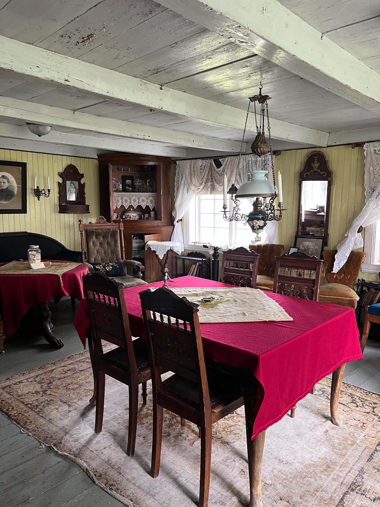
Coastal history
Step inside preserved homes, workrooms and classrooms from Helgeland’s island communities, where family life, practical work and travel followed the rhythm of the sea.
Explore the story02 / Character
The coast is less one concentrated attraction than a sequence of landscapes, crossings and communities.
01
Helgeland is more geographically spread out than Lofoten or Senja. Low archipelagos, working farmland, coastal peaks, fjords, forests and inland valleys appear as distinct chapters rather than one compact attraction.
02
Roads, ferries and express boats set the rhythm. The map can make places look close, but every crossing, quay and island detour adds time that is better treated as part of the journey.
03
Helgeland suits travellers who prefer fewer bases, flexible days and local coastal culture over collecting viewpoints. The region rewards time for weather changes, small communities and unplanned stops.
03 / Geography
A practical way to read Helgeland is as four travel zones. These are planning shortcuts, not formal administrative regions.
South Helgeland
A practical southern beginning with a coastal town, Helgeland's best-known pierced mountain and the cultural landscape of the Vega Archipelago.
Central archipelago
A ferry- and express-boat hub beneath the Seven Sisters, with low island roads, paddling water and farming communities spread across the coast.
Northern coast
A more dispersed island world where choosing one or two places usually creates a calmer and more realistic journey than trying to combine them all.
Inland gateways
Useful rail, road and air gateways for connecting the coast with the E6, the Nordland Line and Helgeland's inland landscapes.
04 / Essentials
The coast is straightforward when you respect the ferries, weather and local rhythm. A little preparation keeps the trip calm.
Timetables, vessel capacity and seasonal connections can change. Always verify the final journey with official transport providers before departure, using tools such as Entur and Reis Nordland.
05 / Seasons
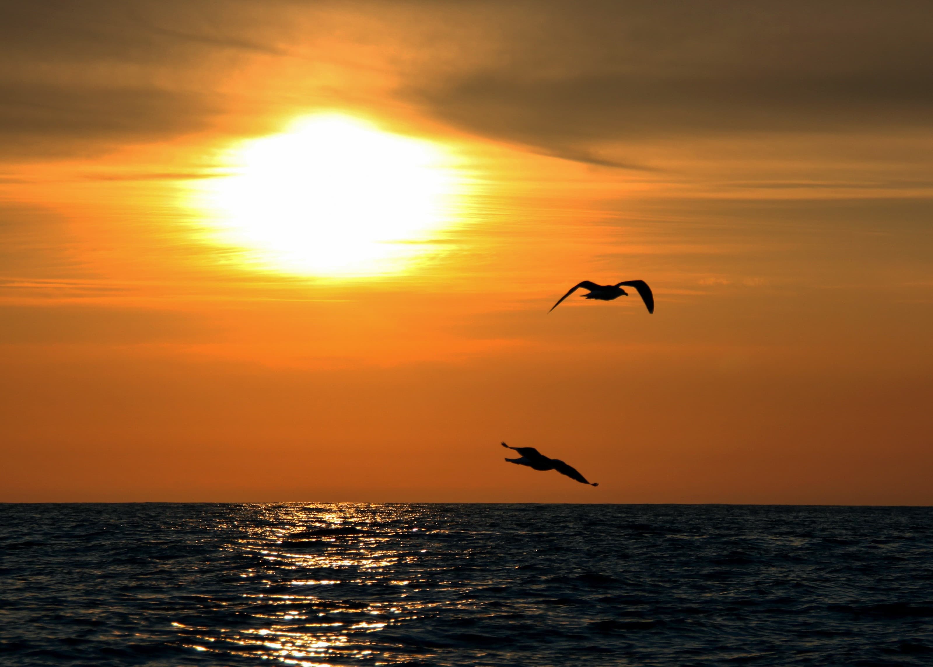
The route changes with light, ferry frequency and weather. Summer is easiest, but the shoulder seasons can be deeply atmospheric.
Easiest for a first journey
The most straightforward season for island hopping, kayaking, cycling and mountain walks, with long light and the widest choice of open food, accommodation and activity businesses. Northern Helgeland can have midnight sun; farther south, expect very bright summer nights rather than the same guarantee.
Quieter, with more trade-offs
Spring and autumn can bring quieter roads, dramatic light and fewer visitors. They can also mean fewer departures, shorter opening hours and greater dependence on wind and weather, so build the route around current services rather than a summer plan.
For focused, flexible stays
Winter can suit quiet coastal or town-based stays, selected year-round operators and northern-lights evenings when skies are dark and clear. Do not plan as if the full summer island-hopping offer is available; daylight, weather and seasonal closures change the journey substantially.
06 / Pacing
The mistake is not driving too slowly. The mistake is planning Helgeland like a highway.
4-5 days
Enough for a focused southern or central journey, such as Brønnøysund with Vega or Sandnessjøen with Herøy and Dønna. It is not enough for the whole coast.
Around one week
A realistic range for a slower southern or central journey with ferry buffers, two-night stays and one carefully chosen island detour.
10-14 days
Better for combining Fv17 with southern, central and northern sections. Ferries and island stays use more time than the distance on the map suggests.
07 / Transport
Choose the transport around the part of the region you want to understand, not the other way around.
08 / Coastal Route Fv17
Fv17 is not just a road; it is a rhythm of driving, waiting, crossing and continuing.
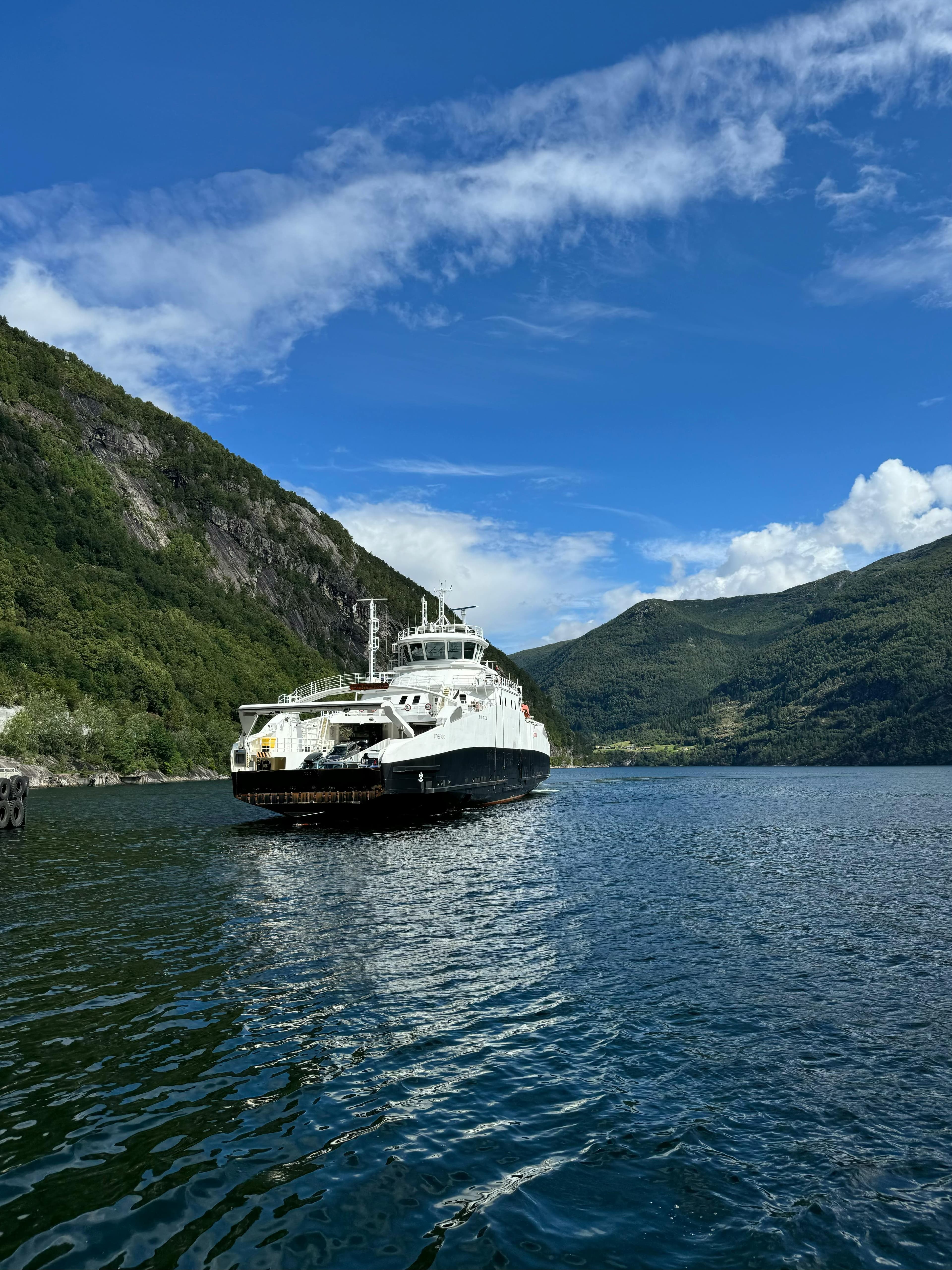
Norwegian Scenic Route Helgelandskysten runs between Holm and Godøystraumen, with important coastal detours including Torghatten. The official scenic route is approximately 433 km and includes six ferry crossings. It follows much of Fv17 and works as a slower, more experience-led alternative to the E6.
The ferries slow the trip down in the best way. They also make planning real: use the Helgeland Coast road-trip guide for route rhythm and the Norway ferry guide for wider planning context.
Confirm current timetables, capacity and seasonal connections with official operators before driving to the quay.
Before driving Fv17
09 / Places
Treat these as anchors, not a checklist. The route is better when weather and ferry timing have room to breathe.
South Helgeland
01 / 06
Gateway town
A practical southern base with harbour life, regional transport and access to Torghatten and Vega. It suits travellers who want services without losing the coastal rhythm.
Signature landscape
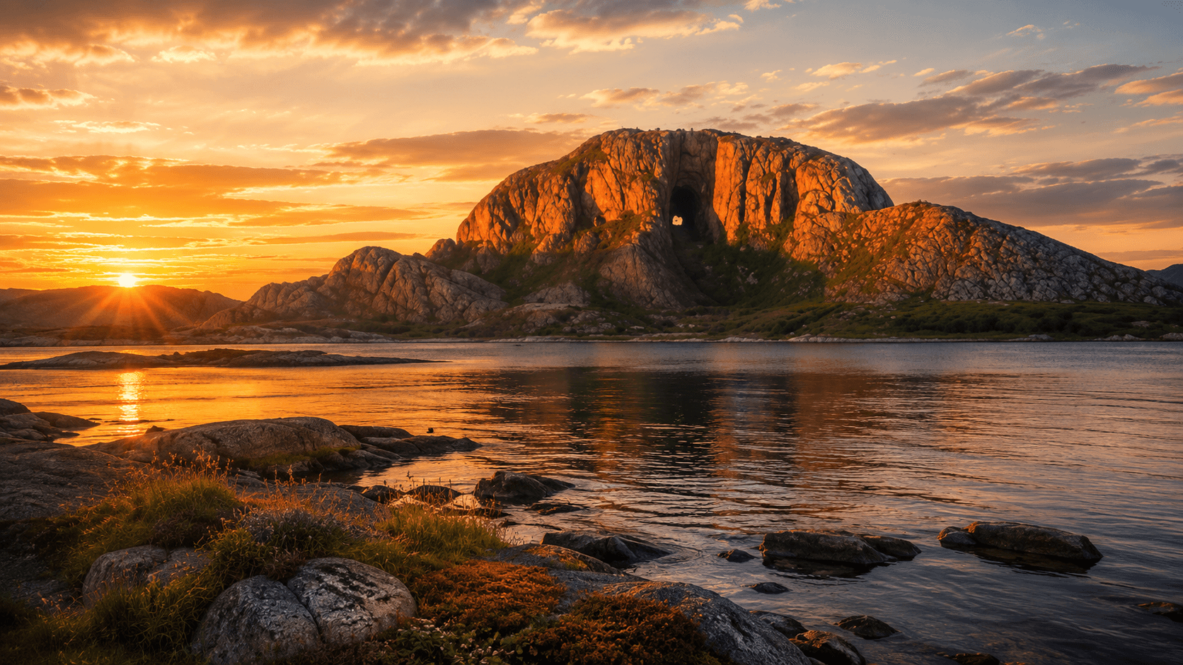
The pierced mountain near Brønnøysund is a clear southern landmark and a focused walk for travellers who want one memorable landscape experience without committing to a summit day.
Vega Archipelago
02 / 06
Signature cultural landscape
The Vega Archipelago World Heritage landscape tells a long story of fishing, farming and eider-down traditions. It suits slow island stays, cycling and cultural context rather than a rushed detour.
Central Helgeland
03 / 06
Central base
A central coastal town and useful boat hub for the Seven Sisters, Herøy, Dønna and onward journeys. It works well for travellers building several short excursions from one base.
Signature mountain range
The seven peaks form the defining skyline above Sandnessjøen. Individual summit walks are substantial mountain days, while lower viewpoints suit travellers who want the landscape without the full ascent.
Island roads
04 / 06
Signature island roads
Low islands, bridges, farmland and open sea create one of the coast's best slow-travel combinations. They particularly suit cycling, kayaking and travellers comfortable letting boat connections shape the day.
Outer islands
05 / 06
Signature outer islands
Two distinct outer-island communities with strong sea horizons and limited-road travel. Choose one unless you have generous time, and treat wildlife, weather and connections as conditions rather than promises.
Northern coast
06 / 06
Northern island stop
An island and coastal area known for the profile of Rødøyløva and a quieter northern pace. It suits travellers who can stay flexible and avoid turning the visit into a tight transfer day.
Further along the route
Useful places for connecting island stays, coastal stages and inland arrivals without adding another major chapter to the route.
Coastal junction
A small mainland stop with important links towards the northern islands. It is most useful as a calm staging point rather than a place to overfill with attractions.
Island municipality
A dispersed mix of mainland coast and islands where the journey matters as much as the arrival. It suits travellers choosing one local base and planning carefully around boats.
Rail and inland gateway
A historic town on the Nordland Line and E6, useful for moving between the coast and inland Helgeland. It suits rail arrivals and travellers adding town culture to a coastal route.
Northern inland gateway
A larger service centre with road, rail and regional air connections. It is a practical entry or exit point for northern Helgeland and inland landscape journeys.
10 / Slow travel
Leave room for crossings, weather and communities. This one-week framework is a starting point, not a schedule to complete at any cost.
A flexible one-week framework
Day 1
Arrive, settle into the coast and use Torghatten as the first strong landscape anchor rather than a rushed photo stop.
Driving/ferry time: Short · Pace: Relaxed
A gentle opening day; keep the schedule loose so the first ferry or coastal stop does not feel forced.
Day 2
Cross toward Vega for island roads, World Heritage culture and a quieter day shaped by coastal heritage.
Driving/ferry time: Moderate · Pace: Flexible
Check ferry timing and leave room for a slower island rhythm rather than trying to overpack the day.
Day 3
Let ferries set the pace as the route moves toward the central Helgeland coast and the Seven Sisters skyline.
Driving/ferry time: Moderate · Pace: Weather-dependent
A good day for checking forecast shifts and keeping accommodation timing a little loose.
Day 4
Choose the day by weather: a mountain hike for experienced walkers, or slower island roads if cloud and wind move in.
Driving/ferry time: Short to moderate · Pace: Weather-dependent
Decide on the hike or island route after checking conditions, not before breakfast.
Day 5
Continue through ferry-linked coast, keeping the day light enough for pauses and missed-photo moments.
Driving/ferry time: Moderate · Pace: Flexible
This is a good day to stay loose with departures and avoid planning too many crossings in one afternoon.
Day 6
Use the extra day for Lovund, Træna, Lurøy or Rødøy only when the connection and an overnight stay create a calm route.
Driving/ferry time: Long · Pace: Weather-dependent
Choose the island only after checking both arrival and departure connections, accommodation and current capacity guidance.
Day 7
Use an inland gateway, retrace a coastal connection or continue north only if the final travel day still has a realistic weather and ferry buffer.
Driving/ferry time: Long · Pace: Flexible
Leave time for weather and ferry changes so the last day still feels like part of the journey, not a transfer.
11 / Experiences
Choose a small number and leave enough time for the journey between them.
12 / Responsibility
Helgeland's quietness is part of its value. Protect that by moving carefully through local communities and fragile coastal places.
Read the camping rules for Norway and the wider responsible travel guide before choosing overnight stops or outdoor activities.
13 / FAQ
Helgeland is the southern part of Northern Norway, in Nordland. It stretches from inland mountains and towns to a long coast of fjords, islands, skerries and communities between Trøndelag and the Bodø region.
Allow about four or five days for one selected section, around one week for a slower southern or central journey, and roughly 10 to 14 days for a broader route with island detours.
Not exactly. Kystriksveien is the wider coastal road connection between Steinkjer and Bodø. Norwegian Scenic Route Helgelandskysten is a 433-kilometre section between Holm and Godøystraumen, following much of Fv17 with a detour to Torghatten.
You can use the E6 and connecting roads to avoid some coastal crossings, but the official scenic route includes six ferries. Avoiding them changes the character and geography of the journey.
Booking and capacity rules vary between ferries, express boats, vehicles and seasons. Check the specific journey with Reis Nordland or the relevant official operator before departure rather than relying on one rule for the whole coast.
Yes, for a carefully selected route. The Nordland Line, regional buses, express boats, ferries and bicycles can link towns and islands, but connections may be limited or seasonal and the itinerary should stay simple.
Herøy and Dønna form a natural central pairing. Farther north, it is usually calmer to choose one main island such as Lovund, Træna or Rødøy and build around current boat connections instead of trying to combine all three.
Helgeland often feels less concentrated because attractions and communities are spread across a much larger area. Individual places can still be busy in summer, so the difference is geographic rhythm rather than a guarantee of solitude.
Summer is the easiest season for ferries, island stays, cycling, kayaking and hiking. Spring and autumn can be quieter but have fewer services, while winter is better suited to focused, flexible stays than a full summer-style island route.
Yes, during dark parts of the year when the sky is clear and aurora activity reaches the region. It is never guaranteed, and cloud, coastal weather and limited winter services should shape the plan.
It can work well for campervans if you allow ferry margins and use established camping or motorhome facilities. Never block ferry queues, narrow roads, viewpoints or private access, and check vehicle rules for each crossing.
The individual summits are substantial mountain walks and are not automatically beginner routes. Less experienced walkers should consider lower viewpoints or guided options and always match the route to current weather, terrain and personal ability.
14 / Related guides
Move from regional understanding into route, ferry, driving, camping, seasonal and no-car planning.
For a wider planning context, see Responsible travel or open the Map before choosing where to start.
Get occasional field notes, practical travel updates and new routes from across Norway.
Loading the email form…
No spam. Unsubscribe anytime. Read our Privacy Policy.